GEO Satellites: Introduction to Geostationary Orbit Satellites
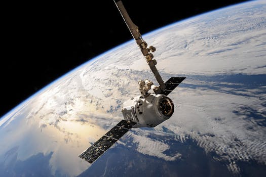
GEO satellites, or geostationary orbit satellites, are a type of satellite that orbits the Earth at an altitude of approximately 36,000 kilometers above the equator. At this altitude, the satellite’s orbital period matches the Earth’s rotational period, allowing it to remain stationary in the sky. This unique characteristic makes GEO satellites ideal for a variety of applications, including communication, navigation, and weather forecasting.
GEO satellites have been in use for several decades, with the first geostationary satellite, Syncom 2, launched in 1963. Since then, the technology has evolved significantly, with advancements in satellite design, propulsion systems, and payload capacity. Today, GEO satellites play a vital role in modern communication and navigation systems, providing services such as television broadcasting, telecommunications, and internet connectivity.
How GEO Satellites Work
GEO satellites work by transmitting and receiving signals to and from Earth-based stations. The satellite’s payload, which includes antennas, transponders, and other equipment, is designed to receive signals from Earth-based stations, amplify them, and re-transmit them back to other parts of the world. This process allows GEO satellites to provide global coverage, enabling communication and navigation services to be accessed from anywhere on the planet.
The geostationary orbit is a unique environment that poses several challenges for satellite operation. The high altitude and lack of atmospheric protection require specialized design and materials to ensure the satellite’s survival. Additionally, the satellite must be equipped with sophisticated propulsion systems to maintain its orbital position and prevent drift.
Applications of GEO Satellites
GEO satellites have a wide range of applications, including:
Communication: GEO satellites provide global coverage for communication services such as television broadcasting, telecommunications, and internet connectivity. They enable communication between different parts of the world, facilitating global commerce, education, and social interaction.
Navigation: GEO satellites are used in navigation systems such as GPS, GLONASS, and Galileo, providing location information and timing signals to receivers on the ground. These systems enable accurate navigation and timing, which are critical for transportation, aviation, and other industries.
Weather Forecasting: GEO satellites are used to monitor weather patterns and provide early warnings for severe weather events such as hurricanes, typhoons, and droughts. They enable meteorologists to track weather systems and predict weather patterns, saving lives and reducing economic losses.
Future Developments and Challenges
The GEO satellite industry is rapidly evolving, with new technologies and innovations emerging regularly. Some of the key trends and challenges facing the industry include:
Increased competition: The GEO satellite market is becoming increasingly competitive, with new entrants and established players vying for market share. This competition is driving innovation and reducing costs, making GEO satellites more accessible to a wider range of users.
Technological advancements: Advances in satellite design, propulsion systems, and payload capacity are enabling GEO satellites to provide more efficient and effective services. New technologies such as electric propulsion and advanced materials are reducing the cost and increasing the performance of GEO satellites.
Regulatory challenges: The GEO satellite industry is subject to a complex regulatory environment, with multiple agencies and organizations governing different aspects of satellite operation. Ensuring compliance with these regulations is essential for the safe and effective operation of GEO satellites.