GEO Satellites: Understanding the Technology and Applications of Geostationary Orbit Satellites
GEO satellites are a crucial part of modern telecommunications, providing a wide range of services including television broadcasting, telecommunications, and weather forecasting. In this article, we will delve into the world of GEO satellites, exploring their history, technology, and applications.
GEO Satellites: Understanding the Technology and Applications of Geostationary Orbit Satellites
GEO satellites, or geostationary orbit satellites, are a type of satellite that orbits the Earth at an altitude of approximately 36,000 kilometers, allowing them to remain stationary in the sky relative to a fixed point on the Earth’s surface. This unique characteristic makes GEO satellites ideal for a variety of applications, including television broadcasting, telecommunications, and weather forecasting.
GEO satellites have been in use for several decades, with the first geostationary satellite, Syncom 2, launched in 1963. Since then, the technology has evolved significantly, with modern GEO satellites offering high-speed data transmission, advanced navigation systems, and high-resolution imaging capabilities.
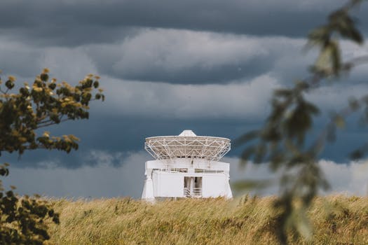
How GEO Satellites Work
GEO satellites work by orbiting the Earth at a speed that allows them to remain stationary relative to a fixed point on the Earth’s surface. This is achieved by placing the satellite in a geostationary orbit, which is an orbit that is synchronized with the Earth’s rotation. As the Earth rotates, the satellite appears to remain stationary in the sky, allowing it to provide continuous coverage of a specific region.
The process of launching a GEO satellite into orbit is complex and involves several stages. First, the satellite is launched into a transfer orbit, which is an elliptical orbit that takes the satellite from the Earth’s surface to the geostationary orbit. Once in the transfer orbit, the satellite uses its onboard propulsion system to maneuver into the geostationary orbit.
Applications of GEO Satellites
GEO satellites have a wide range of applications, including television broadcasting, telecommunications, and weather forecasting. They are also used for navigation, remote sensing, and scientific research. One of the most significant applications of GEO satellites is in the field of telecommunications, where they are used to provide high-speed data transmission and voice communication services.
GEO satellites are also used for television broadcasting, allowing television signals to be transmitted to a wide audience. They are also used for weather forecasting, providing high-resolution images of the Earth’s surface and atmosphere. In addition, GEO satellites are used for navigation, providing location information and timing signals to GPS receivers on the ground.
Benefits and Challenges of GEO Satellites
GEO satellites offer several benefits, including high-speed data transmission, advanced navigation systems, and high-resolution imaging capabilities. They also provide continuous coverage of a specific region, making them ideal for applications that require real-time data transmission. However, GEO satellites also face several challenges, including the risk of satellite failure, interference from other satellites, and the need for frequent maintenance and repair.
Despite these challenges, GEO satellites remain a crucial part of modern telecommunications, providing a wide range of services that are essential to modern life. As technology continues to evolve, we can expect to see even more advanced GEO satellites being launched into orbit, offering even higher speeds and more advanced capabilities.


