GEO Satellites: Understanding the Technology and Applications of Geostationary Orbit Satellites
GEO satellites, or geostationary orbit satellites, are a type of satellite that orbits the Earth at an altitude of approximately 36,000 kilometers, remaining stationary relative to a fixed point on the Earth’s surface. This unique characteristic allows GEO satellites to provide continuous coverage of a specific region, making them an essential component of modern telecommunications. In this article, we will delve into the technology and applications of GEO satellites, exploring their history, design, and uses.
History of GEO Satellites
The concept of GEO satellites was first proposed by scientist Arthur C. Clarke in 1945, who envisioned a network of satellites in geostationary orbit that could provide global telecommunications coverage. The first GEO satellite, Syncom 2, was launched in 1963, followed by the first commercial GEO satellite, Intelsat 1, in 1965. Since then, the number of GEO satellites has grown exponentially, with over 500 satellites currently in orbit.
Design and Technology of GEO Satellites
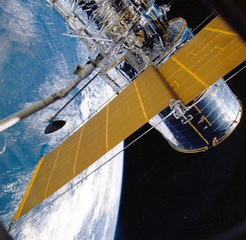
GEO satellites are designed to operate in the harsh environment of space, withstanding extreme temperatures, radiation, and debris. They typically consist of a platform, payload, and propulsion system. The platform provides the structural support and houses the satellite’s systems, while the payload consists of the communications equipment, such as transponders and antennas. The propulsion system enables the satellite to maintain its orbit and perform any necessary maneuvers.
Applications of GEO Satellites
GEO satellites have a wide range of applications, including telecommunications, broadcasting, weather forecasting, and navigation. They provide global coverage, enabling communication between remote or underserved areas, and are used for television broadcasting, internet connectivity, and mobile communications. GEO satellites also play a critical role in weather forecasting, providing imagery and data for meteorological agencies. Additionally, they are used for navigation, such as GPS, and for earth observation, monitoring climate change, and natural resources.
Future of GEO Satellites
The future of GEO satellites looks promising, with advancements in technology and increasing demand for satellite-based services. The development of new propulsion systems, such as electric propulsion, and the use of advanced materials, such as carbon fiber, are expected to improve the efficiency and lifespan of GEO satellites. Furthermore, the growing demand for satellite-based services, such as broadband internet and mobile communications, is driving the launch of new GEO satellites and the development of new applications.