GEO Satellites: Understanding the Technology and Its Applications
GEO satellites, or Geostationary Earth Orbit satellites, are a type of satellite that orbits the Earth at an altitude of approximately 36,000 kilometers. They are stationed above the equator and remain fixed in relation to a specific point on the Earth’s surface, providing continuous coverage of a particular region. GEO satellites are a crucial part of modern telecommunications, providing global coverage and connectivity.
GEO satellites have been in use for several decades, with the first GEO satellite, Syncom 2, launched in 1963. Since then, the technology has evolved significantly, with improvements in satellite design, launch vehicles, and ground equipment. Today, GEO satellites are used for a variety of applications, including telecommunications, broadcasting, weather forecasting, and navigation.
How GEO Satellites Work
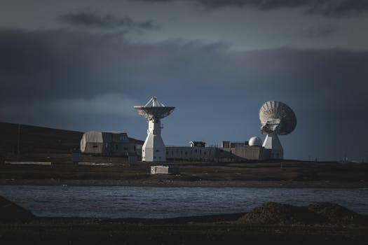
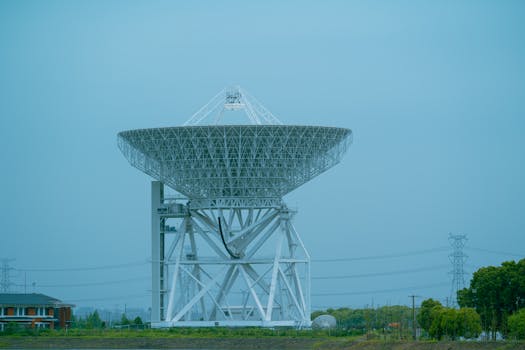
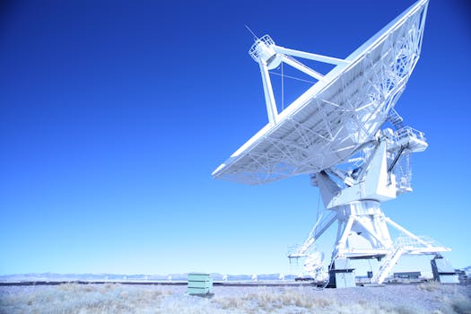
GEO satellites work by transmitting and receiving signals to and from Earth stations. The satellite receives a signal from an Earth station, amplifies it, and then re-transmits it back to Earth, where it is received by another Earth station. This process allows for communication between two distant points on the Earth’s surface. GEO satellites are equipped with transponders, which are devices that receive and re-transmit signals. The transponders are connected to antennas, which transmit and receive the signals.
The signals transmitted by GEO satellites are in the form of radio waves, which have a frequency range of 1-40 GHz. The signals are modulated onto a carrier wave, which is then transmitted to the satellite. The satellite receives the signal, demodulates it, and then re-transmits it back to Earth. The signal is then received by an Earth station, which demodulates it and extracts the original information.
Applications of GEO Satellites
GEO satellites have a wide range of applications, including telecommunications, broadcasting, weather forecasting, and navigation. In telecommunications, GEO satellites are used to provide connectivity to remote areas, where fiber optic cables or other forms of connectivity are not available. They are also used to provide backup connectivity in case of outages or disasters.
In broadcasting, GEO satellites are used to transmit television channels and other forms of media to a wide audience. They are also used to provide live coverage of events, such as sports and news. In weather forecasting, GEO satellites are used to monitor weather patterns and provide early warnings of severe weather events. In navigation, GEO satellites are used to provide location information and timing signals, which are used in GPS and other navigation systems.
Advantages and Disadvantages of GEO Satellites
GEO satellites have several advantages, including global coverage, high bandwidth, and reliability. They are also relatively inexpensive to launch and maintain compared to other forms of satellite technology. However, GEO satellites also have some disadvantages, including high latency, interference from other satellites, and the risk of satellite failure.
High latency is a significant issue with GEO satellites, as signals have to travel a long distance to and from the satellite. This can cause delays in communication, which can be a problem in applications that require real-time communication. Interference from other satellites is also a concern, as the radio waves transmitted by GEO satellites can be affected by other satellites in the same frequency range.
Future of GEO Satellites
The future of GEO satellites is exciting, with several new technologies and applications being developed. One of the most significant developments is the use of High-Throughput Satellites (HTS), which provide higher bandwidth and faster speeds than traditional GEO satellites. HTS are being used to provide broadband internet connectivity to remote areas and to support the growing demand for data-intensive applications.
Another significant development is the use of satellite constellations, which involve a large number of small satellites working together to provide global coverage. Satellite constellations are being developed to provide low-latency, high-bandwidth connectivity, and to support the growing demand for IoT and other data-intensive applications.
See more: