GEO Satellites: Understanding the Technology and its Applications
Introduction to GEO Satellites
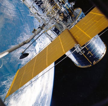
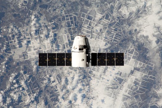
GEO satellites, or Geostationary Earth Orbit satellites, are a type of satellite that orbits the Earth at an altitude of approximately 36,000 kilometers. At this altitude, the satellite’s orbital period is equal to the Earth’s rotational period, allowing it to remain stationary in the sky. This unique characteristic makes GEO satellites ideal for a variety of applications, including telecommunications, weather forecasting, and Earth observation.
GEO satellites have been in use for several decades, with the first GEO satellite, Syncom 2, launched in 1963. Since then, the technology has evolved significantly, with modern GEO satellites offering higher bandwidth, greater connectivity, and more advanced capabilities. Today, GEO satellites play a crucial role in modern telecommunications, providing a wide range of services including television broadcasting, telephony, and internet connectivity.
How GEO Satellites Work
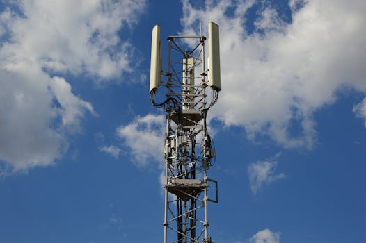
GEO satellites work by transmitting and receiving signals to and from Earth-based stations. The satellite receives a signal from an Earth-based station, amplifies it, and then re-transmits it back to Earth, where it is received by another Earth-based station. This process allows data to be transmitted over long distances, making it possible to communicate with people and devices located anywhere in the world.
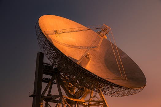
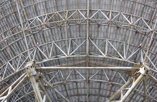
The signals transmitted by GEO satellites are typically in the form of radio waves, which have a frequency range of between 1 GHz and 30 GHz. The satellite’s antenna system is designed to receive and transmit these signals, and is typically composed of a large dish-shaped antenna, known as a parabolic reflector, and a feed horn, which is used to transmit and receive the signals.
Applications of GEO Satellites
GEO satellites have a wide range of applications, including telecommunications, weather forecasting, and Earth observation. In the field of telecommunications, GEO satellites are used to provide television broadcasting, telephony, and internet connectivity. They are also used to provide mobile phone coverage, particularly in rural and remote areas where terrestrial networks are not available.
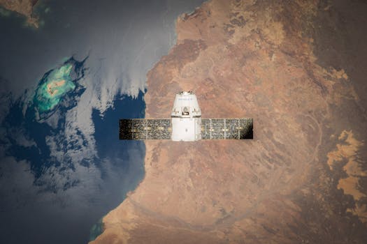
In the field of weather forecasting, GEO satellites are used to monitor cloud patterns, precipitation, and other weather-related phenomena. They are also used to track hurricanes, typhoons, and other severe weather events, providing critical information to meteorologists and emergency management officials. In the field of Earth observation, GEO satellites are used to monitor the Earth’s surface, tracking changes in land use, deforestation, and other environmental phenomena.
Challenges and Limitations of GEO Satellites
While GEO satellites offer many benefits, they also have several challenges and limitations. One of the main challenges is the high latency associated with GEO satellite communications, which can be up to 250 milliseconds. This latency can make it difficult to use GEO satellites for real-time applications, such as video conferencing and online gaming.
Another challenge is the limited bandwidth available on GEO satellites, which can make it difficult to provide high-speed internet connectivity. Additionally, GEO satellites are susceptible to interference from other satellites and terrestrial systems, which can affect their performance and reliability. Finally, the high cost of launching and operating GEO satellites can make them less competitive than other forms of telecommunications infrastructure, such as fiber optic cables and terrestrial wireless networks.
See more: