GEO Satellites: Understanding the Technology and Its Applications
GEO satellites, or Geostationary satellites, are a type of satellite that orbits the Earth at an altitude of approximately 36,000 kilometers, remaining stationary relative to a fixed point on the equator. GEO satellites have been a cornerstone of modern wireless communication, providing a wide range of services including television broadcasting, telecommunications, and weather forecasting. In this article, we will delve into the world of GEO satellites, exploring their history, technology, and applications.
History of GEO Satellites
The concept of GEO satellites was first proposed by science fiction writer Arthur C. Clarke in 1945. However, it wasn’t until the 1960s that the first GEO satellite, Syncom 2, was launched. Since then, hundreds of GEO satellites have been launched, with many more planned for the future. The development of GEO satellites has been driven by advancements in technology, including the creation of more efficient launch vehicles, improved satellite design, and the development of new materials and manufacturing techniques.
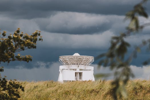
Technology Behind GEO Satellites
GEO satellites are designed to operate in the geostationary orbit, which is a circular orbit that allows the satellite to remain stationary relative to a fixed point on the equator. To achieve this, GEO satellites must be launched into an orbit with a period of 24 hours, matching the Earth’s rotational period. The satellite’s altitude, velocity, and position must be carefully controlled to maintain its geostationary orbit. GEO satellites use a combination of solar panels, batteries, and fuel to power their systems and maintain their orbit.
Applications of GEO Satellites
GEO satellites have a wide range of applications, including television broadcasting, telecommunications, weather forecasting, and navigation. They provide a platform for broadcasting television channels, allowing signals to be transmitted over long distances, reaching a large audience. GEO satellites also play a critical role in telecommunications, providing connectivity to remote areas and enabling international communications. Additionally, they are used for weather forecasting, providing images of cloud patterns, storms, and other weather phenomena. Furthermore, GEO satellites are used in navigation systems, such as GPS, to provide location information and timing signals.
Benefits and Limitations of GEO Satellites
GEO satellites offer several benefits, including global coverage, high bandwidth, and reliability. They provide a platform for broadcasting and telecommunications, allowing signals to be transmitted over long distances. However, GEO satellites also have some limitations, including high launch costs, limited bandwidth, and signal latency. The high launch costs of GEO satellites make them less accessible to some organizations and countries. Additionally, the limited bandwidth of GEO satellites can lead to congestion and interference, affecting the quality of service.


