GEO Satellites: Understanding the Technology and Its Applications
GEO satellites are a crucial part of modern telecommunications, providing a wide range of services including television broadcasting, telecommunications, and weather forecasting. In this article, we will delve into the world of GEO satellites, exploring their technology, applications, and significance in the modern world.
GEO Satellites: Understanding the Technology and Its Applications
GEO satellites, or Geostationary Earth Orbit satellites, are a type of satellite that orbits the Earth at an altitude of approximately 36,000 kilometers above the equator. At this altitude, the satellite’s orbital period matches the Earth’s rotational period, allowing it to remain stationary relative to a fixed point on the Earth’s surface. This unique characteristic makes GEO satellites ideal for a wide range of applications, including television broadcasting, telecommunications, and weather forecasting.
GEO satellites have been in use for several decades, with the first GEO satellite, Syncom 2, launched in 1963. Since then, the technology has evolved significantly, with modern GEO satellites offering higher bandwidth, greater power, and improved propulsion systems. Today, there are hundreds of GEO satellites in orbit, providing a wide range of services to users around the world.
How GEO Satellites Work
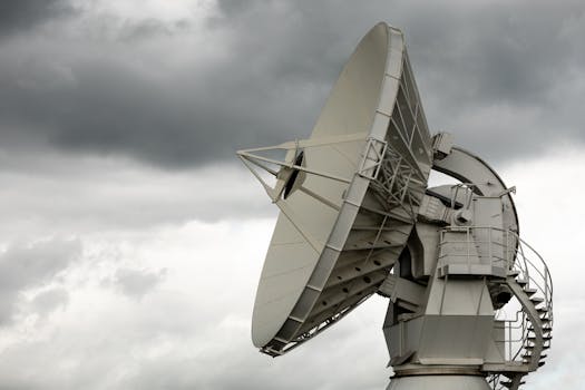
GEO satellites work by transmitting and receiving signals to and from Earth stations, which are specialized antennae that communicate with the satellite. The signals are transmitted to the satellite using a high-gain antennae, which allows the signal to be focused and amplified. The satellite then receives the signal, amplifies it, and re-transmits it back to Earth, where it is received by another Earth station.
The signals transmitted by GEO satellites can be used for a variety of purposes, including television broadcasting, telecommunications, and data transmission. The satellites are also equipped with transponders, which are devices that receive and re-transmit signals at different frequencies. This allows multiple signals to be transmitted simultaneously, increasing the satellite’s capacity and efficiency.
Applications of GEO Satellites
GEO satellites have a wide range of applications, including television broadcasting, telecommunications, weather forecasting, and navigation. They are also used for military communications, remote sensing, and scientific research. The use of GEO satellites has revolutionized the way we communicate, access information, and navigate the world.
One of the most significant applications of GEO satellites is television broadcasting. GEO satellites can transmit television signals to a wide area, allowing millions of people to access a wide range of channels and programming. They are also used for telecommunications, providing telephone and internet services to remote and underserved areas.
Significance of GEO Satellites
GEO satellites play a critical role in modern telecommunications, providing a wide range of services that are essential to modern life. They have revolutionized the way we communicate, access information, and navigate the world. The use of GEO satellites has also enabled the development of new technologies, such as GPS and satellite broadband, which have transformed the way we live and work.
In conclusion, GEO satellites are a crucial part of modern telecommunications, providing a wide range of services including television broadcasting, telecommunications, and weather forecasting. Their unique characteristics, including their geostationary orbit and high-gain antennae, make them ideal for a wide range of applications. As technology continues to evolve, it is likely that GEO satellites will play an even more significant role in shaping the future of telecommunications and beyond.