GEO Satellites: Understanding the Technology and Its Applications
GEO satellites are a crucial part of modern telecommunications, providing a wide range of services including television broadcasting, internet connectivity, and navigation. In this article, we will delve into the world of GEO satellites, exploring their technology, applications, and impact on our daily lives.

GEO Satellites: Understanding the Technology and Its Applications
GEO satellites, or Geostationary Earth Orbit satellites, are a type of satellite that orbits the Earth at an altitude of approximately 36,000 kilometers, remaining stationary above a fixed point on the equator. This unique orbit allows GEO satellites to provide continuous coverage of a specific region, making them ideal for a variety of applications, including telecommunications, weather forecasting, and navigation.
GEO satellites have been in use for several decades, with the first GEO satellite, Syncom 2, launched in 1963. Since then, the technology has evolved significantly, with modern GEO satellites capable of providing high-speed internet, television broadcasting, and other services to millions of people around the world. The Intelsat and SES companies are among the largest operators of GEO satellites, with a combined fleet of over 100 satellites.
How GEO Satellites Work
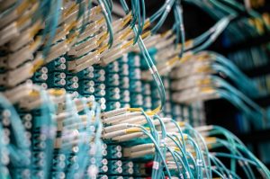
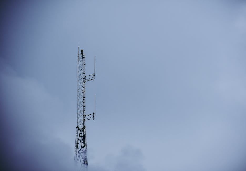
GEO satellites work by transmitting and receiving signals to and from Earth stations, which are specialized facilities that communicate with the satellite. The signals are transmitted to the satellite through a large antenna, which is typically located at the Earth station. The satellite then receives the signal, amplifies it, and re-transmits it back to Earth, where it is received by another Earth station or directly by the end-user.
The process of transmitting and receiving signals to and from a GEO satellite is made possible by the satellite’s unique orbit. Because the satellite remains stationary above a fixed point on the equator, it can maintain continuous contact with a specific region, allowing for uninterrupted communication and broadcasting services. This is particularly important for applications such as television broadcasting, where a stable and reliable signal is essential for providing high-quality programming.
Applications of GEO Satellites
GEO satellites have a wide range of applications, including telecommunications, television broadcasting, weather forecasting, and navigation. One of the most significant applications of GEO satellites is in the provision of telecommunications services, including telephone, internet, and data transmission. GEO satellites can provide these services to remote or underserved areas, where traditional communication infrastructure may not be available.
Another important application of GEO satellites is in television broadcasting. GEO satellites can transmit television signals to a wide area, allowing for the broadcast of programming to millions of people. This has made it possible for people in remote or rural areas to access a wide range of television programming, including news, entertainment, and educational programs.
Impact of GEO Satellites on Our Daily Lives
GEO satellites have had a significant impact on our daily lives, providing a wide range of services that we rely on for communication, entertainment, and navigation. The use of GEO satellites has also had a major impact on the global economy, enabling the provision of telecommunications services to remote or underserved areas and facilitating international trade and commerce.
In conclusion, GEO satellites are a crucial part of modern telecommunications, providing a wide range of services including television broadcasting, internet connectivity, and navigation. Their unique orbit and ability to provide continuous coverage of a specific region make them ideal for a variety of applications, and their impact on our daily lives has been significant. As the demand for telecommunications services continues to grow, the importance of GEO satellites will only continue to increase, making them a vital part of our modern world.