GEO Satellites: Unlocking the Power of Geostationary Orbit
GEO satellites, or Geostationary satellites, are a type of satellite that orbits the Earth at an altitude of approximately 36,000 kilometers, which is about 1/10th of the distance between the Earth and the Moon. GEO satellites are unique in that they orbit the Earth at the same speed as the Earth rotates, allowing them to remain stationary in the sky relative to a fixed point on the Earth’s surface.
The first GEO satellite was launched in 1963, and since then, hundreds of GEO satellites have been launched into orbit. These satellites have revolutionized the way we communicate, navigate, and predict the weather. GEO satellites are used for a wide range of applications, including television broadcasting, telecommunications, weather forecasting, and navigation.
How GEO Satellites Work
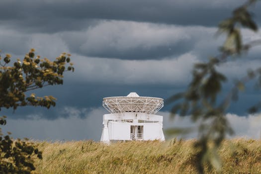
GEO satellites work by transmitting and receiving signals to and from Earth-based stations. The signals are transmitted through a large antenna on the satellite, which is pointed towards the Earth. The signals are then received by a Earth-based station, which can be a large dish antenna or a small receive-only antenna.
The signals transmitted by GEO satellites are used for a variety of purposes, including television broadcasting, where they are used to transmit channels to cable and satellite providers. They are also used for telecommunications, where they provide internet and phone services to remote areas. Additionally, GEO satellites are used for weather forecasting, where they provide images of the Earth’s weather patterns.
Applications of GEO Satellites
GEO satellites have a wide range of applications, including television broadcasting, telecommunications, weather forecasting, and navigation. They are also used for military communications, where they provide secure and reliable communications for military personnel. Furthermore, GEO satellites are used for scientific research, where they provide data on the Earth’s climate, oceans, and land surfaces.
In addition to these applications, GEO satellites are also used for commercial purposes, such as providing internet services to remote areas. They are also used for disaster response and recovery, where they provide critical communications services to emergency responders. Overall, GEO satellites play a vital role in modern society, and their applications continue to grow and expand.
Challenges and Limitations of GEO Satellites
Despite the many benefits of GEO satellites, there are also several challenges and limitations associated with their use. One of the main challenges is the high cost of launching and maintaining a GEO satellite. Additionally, GEO satellites are susceptible to interference from other satellites and terrestrial sources, which can disrupt their signals.
Another challenge facing GEO satellites is the limited availability of orbital slots. The geostationary orbit is a scarce resource, and there are only a limited number of slots available. This has led to a growing demand for alternative orbits, such as the medium Earth orbit (MEO) and the low Earth orbit (LEO). Overall, while GEO satellites offer many benefits, they also present several challenges and limitations that must be addressed.