GEO Satellites: Unlocking the Power of Geostationary Orbit
GEO satellites, or Geostationary Orbit satellites, are a type of satellite that orbits the Earth at an altitude of approximately 35,786 kilometers above the equator. At this height, the satellite’s orbital period matches the Earth’s rotational period, allowing it to remain stationary in the sky. This unique characteristic makes GEO satellites an essential component of modern satellite communications, enabling high-speed data transfer, global coverage, and a range of other benefits.
Geostationary Orbit was first proposed by science fiction writer Arthur C. Clarke in 1945, and the first GEO satellite, Syncom 2, was launched in 1963. Since then, hundreds of GEO satellites have been launched, providing a range of services including television broadcasting, telecommunications, weather forecasting, and navigation. The use of GEO satellites has revolutionized the way we communicate, access information, and navigate the world.
How GEO Satellites Work
GEO satellites work by transmitting and receiving signals to and from Earth-based stations. The satellite’s high altitude and stationary position allow it to cover a wide area of the Earth’s surface, making it an ideal platform for providing global coverage. The signals transmitted by the satellite are received by Earth-based stations, which then relay the signals to their final destination. This process enables fast and reliable data transfer, making GEO satellites a crucial part of modern telecommunications.
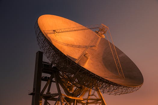
The operation of GEO satellites involves a complex system of antennas, transponders, and propulsion systems. The satellite’s antennas are designed to receive and transmit signals, while the transponders amplify and re-transmit the signals. The propulsion system is used to maintain the satellite’s position and altitude, ensuring that it remains stationary in the sky.
Applications of GEO Satellites
GEO satellites have a wide range of applications, including television broadcasting, telecommunications, weather forecasting, and navigation. They are also used for military communications, Earth observation, and scientific research. The use of GEO satellites has enabled global coverage, high-speed data transfer, and reliable communications, making them an essential component of modern technology.
One of the most significant applications of GEO satellites is in the field of telecommunications. They are used to provide internet connectivity, mobile phone networks, and other communication services to remote and underserved areas. GEO satellites are also used for television broadcasting, enabling global coverage and high-quality transmission of video and audio signals.
Challenges and Future Developments
Despite the many benefits of GEO satellites, there are several challenges associated with their use. One of the main challenges is the limited availability of orbital slots, which can lead to congestion and interference. Additionally, the high cost of launching and maintaining GEO satellites can be a barrier to entry for some organizations.
However, several developments are underway to address these challenges and improve the efficiency of GEO satellites. The use of advanced propulsion systems, such as electric propulsion, can reduce the cost and increase the efficiency of satellite operations. The development of new technologies, such as phased arrays and digital payloads, is also enabling more efficient and flexible use of satellite resources.