How Satellites Monitor Climate Change and Environmental Shifts
Satellites monitor climate change and environmental shifts by providing a global perspective on Earth’s systems and processes. Satellites have been used for decades to study the Earth’s climate, and their capabilities have improved significantly over the years. With the help of satellites, scientists can monitor changes in the Earth’s temperature, sea level, ice sheets, and ocean currents, among other factors.
Types of Satellites Used for Climate Change Monitoring
There are several types of satellites used for climate change monitoring, including:
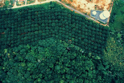
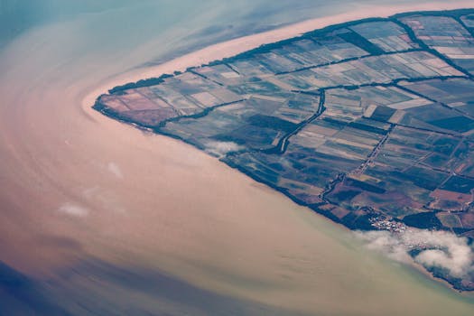
- Earth observation satellites, which provide high-resolution images of the Earth’s surface and atmosphere.
- Weather satellites, which monitor weather patterns and provide forecasts.
- Climate satellites, which study long-term changes in the Earth’s climate.
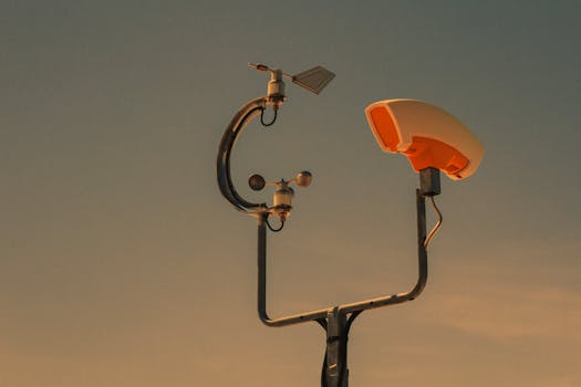
How Satellites Collect Data
Satellites collect data using a variety of instruments, including cameras, spectrometers, and radar systems. These instruments allow satellites to measure factors such as:
- Sea surface temperature
- Sea level
- Ice sheet extent and thickness
- Atmospheric composition
- Land use and land cover changes
Applications of Satellite Data
Satellite data has a wide range of applications, including:
- Climate modeling and prediction
- Weather forecasting
- Disaster response and recovery
- Environmental monitoring
- Agricultural management
Conclusion
In conclusion, satellites play a vital role in monitoring climate change and environmental shifts. By providing a global perspective on Earth’s systems and processes, satellites help scientists understand the complex interactions between the atmosphere, oceans, and land. The data collected by satellites has a wide range of applications, from climate modeling and weather forecasting to disaster response and environmental monitoring. As the world continues to grapple with the challenges of climate change, the importance of satellite monitoring will only continue to grow.