How Satellites Monitor Climate Change and Environmental Shifts
Satellites monitor climate change and environmental shifts, providing valuable data on Earth’s systems and helping track changes over time. Climate change and environmental shifts are complex and multifaceted issues that affect our planet in various ways. Satellites have become essential tools in monitoring these changes, offering a unique perspective on the Earth’s systems and helping scientists understand the impacts of human activities on the environment.
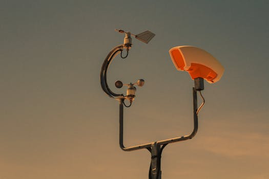
Satellite monitoring of climate change and environmental shifts involves the use of specialized satellites equipped with sensors and instruments designed to collect data on various aspects of the Earth’s systems. These satellites can measure parameters such as sea level rise, ice sheet melting, deforestation, and ocean currents, among others. The data collected by these satellites is then used to create detailed maps and models of the Earth’s systems, which help scientists track changes over time and understand the underlying causes of these changes.
Types of Satellites Used for Climate Change and Environmental Shifts Monitoring
Several types of satellites are used to monitor climate change and environmental shifts, each with its own unique capabilities and applications. Some of the most common types of satellites used for this purpose include:
Geostationary satellites, which remain stationary above a fixed point on the Earth’s surface and provide continuous coverage of a specific region. These satellites are often used for monitoring weather patterns, tracking hurricanes and other extreme weather events, and detecting changes in ocean currents and temperature.
Polar-orbiting satellites, which orbit the Earth at a high inclination and provide global coverage of the planet. These satellites are often used for monitoring sea ice extent, tracking changes in ice sheet mass, and detecting shifts in ocean currents and temperature.
Applications of Satellite Monitoring in Climate Change and Environmental Shifts
Satellite monitoring has a wide range of applications in climate change and environmental shifts, from tracking changes in sea level and ice sheet extent to monitoring deforestation and land use changes. Some of the most significant applications of satellite monitoring include:
Sea level rise monitoring, which involves tracking changes in sea level using satellite altimetry and other techniques. This helps scientists understand the impacts of climate change on coastal communities and ecosystems.
Ice sheet monitoring, which involves tracking changes in ice sheet extent and mass using satellite imagery and other techniques. This helps scientists understand the impacts of climate change on global sea levels and ocean currents.
Deforestation monitoring, which involves tracking changes in forest cover using satellite imagery and other techniques. This helps scientists understand the impacts of human activities on ecosystems and biodiversity.
Conclusion
In conclusion, satellites play a vital role in monitoring climate change and environmental shifts, providing valuable data on Earth’s systems and helping track changes over time. The use of satellites for this purpose has a wide range of applications, from tracking changes in sea level and ice sheet extent to monitoring deforestation and land use changes. As the Earth’s systems continue to evolve and change, the importance of satellite monitoring will only continue to grow, helping scientists and policymakers understand the impacts of human activities on the environment and develop effective strategies for mitigating and adapting to these changes.


