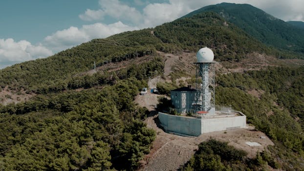
The Role of Satellites in Global Weather Forecasting Systems
The role of satellites in global weather forecasting systems is a critical one, as they provide vital data and images that help meteorologists predict weather patterns and warn of severe weather events. Satellites have revolutionized the field of meteorology, enabling forecasters to track weather systems and predict their behavior with greater accuracy than ever before.
Satellites in orbit around the Earth are equipped with sophisticated sensors and cameras that capture high-resolution images of the Earth’s surface and atmosphere. These images are then transmitted back to Earth, where they are analyzed by meteorologists to identify weather patterns, track storms, and predict future weather conditions. The data collected by satellites is used to create detailed forecasts, warnings, and advisories that help protect life and property.
Types of Satellites Used in Weather Forecasting
There are several types of satellites used in weather forecasting, each with its own unique capabilities and advantages. Geostationary satellites, such as the Geostationary Operational Environmental Satellite (GOES), orbit the Earth at an altitude of approximately 36,000 kilometers, providing continuous coverage of a specific region. These satellites are equipped with visible and infrared sensors that capture images of clouds, precipitation, and other weather phenomena.
Polar-orbiting satellites, such as the National Oceanic and Atmospheric Administration (NOAA) Polar Orbiting Environmental Satellites (POES), orbit the Earth at a much lower altitude, providing global coverage of the Earth’s surface and atmosphere. These satellites are equipped with a range of sensors, including microwave and infrared sensors, that capture data on atmospheric temperature, humidity, and other weather parameters.
Applications of Satellite Data in Weather Forecasting
Satellite data is used in a variety of applications in weather forecasting, including nowcasting, forecasting, and climate monitoring. Nowcasting involves the use of satellite data to predict the immediate future behavior of a weather system, such as the trajectory of a storm or the likelihood of precipitation. Forecasting involves the use of satellite data to predict the future behavior of a weather system over a longer period, such as several days or weeks.
Climate monitoring involves the use of satellite data to track long-term changes in the Earth’s climate, such as changes in sea surface temperature, sea level rise, and ice cover. Satellite data is also used to monitor and predict the behavior of severe weather events, such as hurricanes, tornadoes, and blizzards.
Conclusion
In conclusion, the role of satellites in global weather forecasting systems is a critical one, providing vital data and images that help meteorologists predict weather patterns and warn of severe weather events. The use of satellite data in weather forecasting has revolutionized the field of meteorology, enabling forecasters to track weather systems and predict their behavior with greater accuracy than ever before. As satellite technology continues to evolve, it is likely that the role of satellites in weather forecasting will continue to grow and expand, enabling even more accurate and reliable forecasts and warnings.


